Help Document the King Tides Around Boston
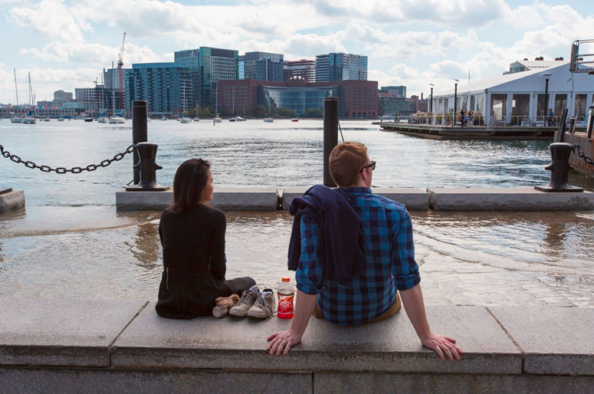
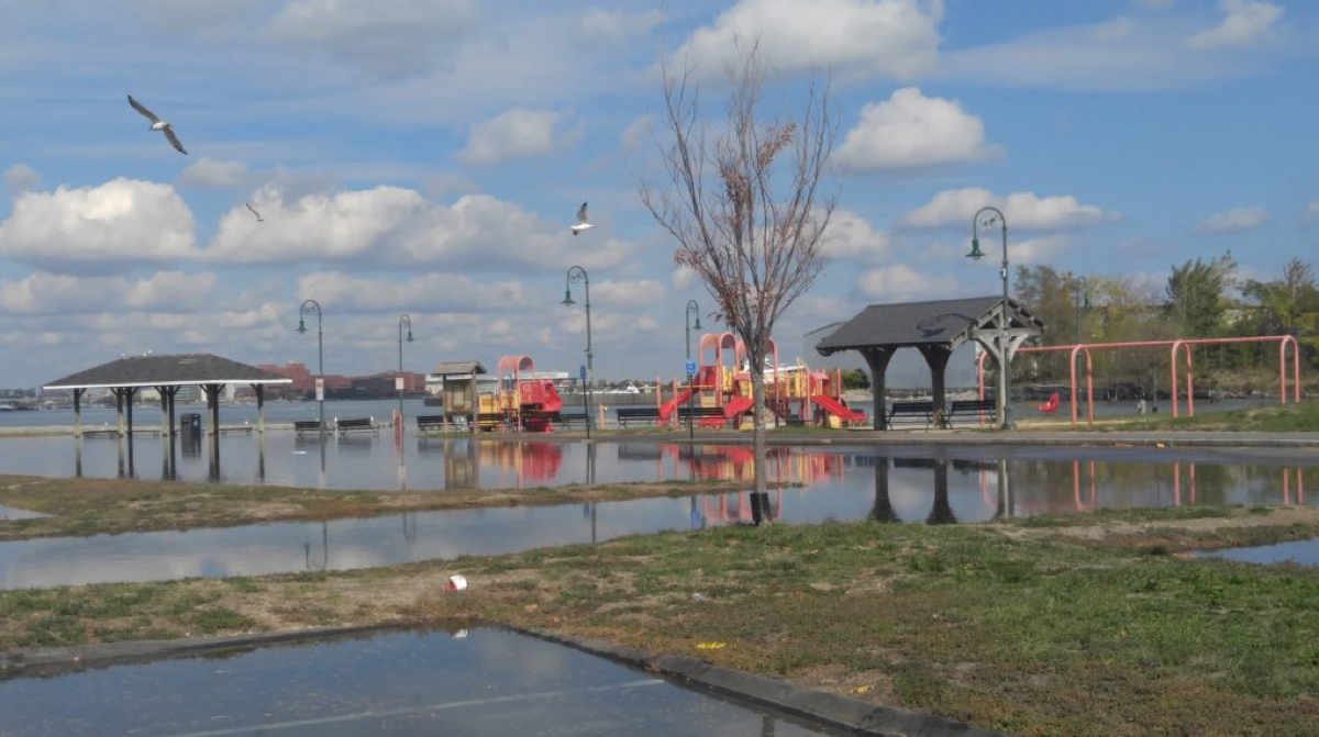
Photo courtesy of the Massachusetts Office of Coastal Zone Management’s MyCoast tool and taken by Charlie Nutting.
Right now, the ocean off Boston is creeping in as close to the city as it ever does. We’re in the midst of a watery phenomenon called King Tides—an occasional event spurred by the Earth’s closeness to both the moon and the sun. The first King Tide peaked yesterday around 12:30 p.m. The next two were slated to arrive Tuesday at 1:21 p.m., and Wednesday at 2:13 p.m.
“[T]hese three high tides will be over two feet higher than average and give us a glimpse of our average high tide sometime around or after mid-century,” according to an event page that a number of local groups have put together to mark the occasion.
The results are pretty intense. People have been sharing photos and videos over the past two days of how the unusually big swell is impacting life on the coast.
King Tide isn’t for another half hour or so and already this is happening at Long Wharf in Boston. @NECN pic.twitter.com/DUiNfleMBY
— Abbey Niezgoda (@AbbeyNiezgoda) October 18, 2016
King Tide flooding Chart House patio. Restaurant is fine however. @universalhub @BostonHarborNow @FortPointer pic.twitter.com/ouaEHhSFJO
— Adam Castiglioni (@ConciergeBoston) October 18, 2016
The tides, while interesting to photograph, are also to many a warning of what’s to come with the looming threat of climate change. That’s of particular concern to our harbor city, and as has been argued in Boston, there is more that needs to be done to deal with that fact before it’s too late.
In the meantime, to take note of this week’s phenomenon, researchers are asking those who witness the mighty power of the King Tides to document their effects and submit photos to the MyCoast tool, a project being led by the Massachusetts Office of Coastal Zone Management. Those who submit photos are also invited to log where the pictures were taken and at what time.
Here are some of the best places to do your documenting, experts said:
East Boston: Meridian Street Bridge, between Central Square and Lo Presti Park
North End: North Washington Street Bridge, Battery Wharf and Lewis Wharf
Downtown: Long Wharf through India Wharf
Seaport: Fort Point Channel, Fan Pier Park, Liberty Wharf
South Boston: Castle Island, Carson Beach
Dorchester: Morrissey Boulevard, Port Norfolk, Neponset River south of Granite Avenue
Scores of pictures have already made their way to the archive. Here are just a few from around Boston:

via David Weaver
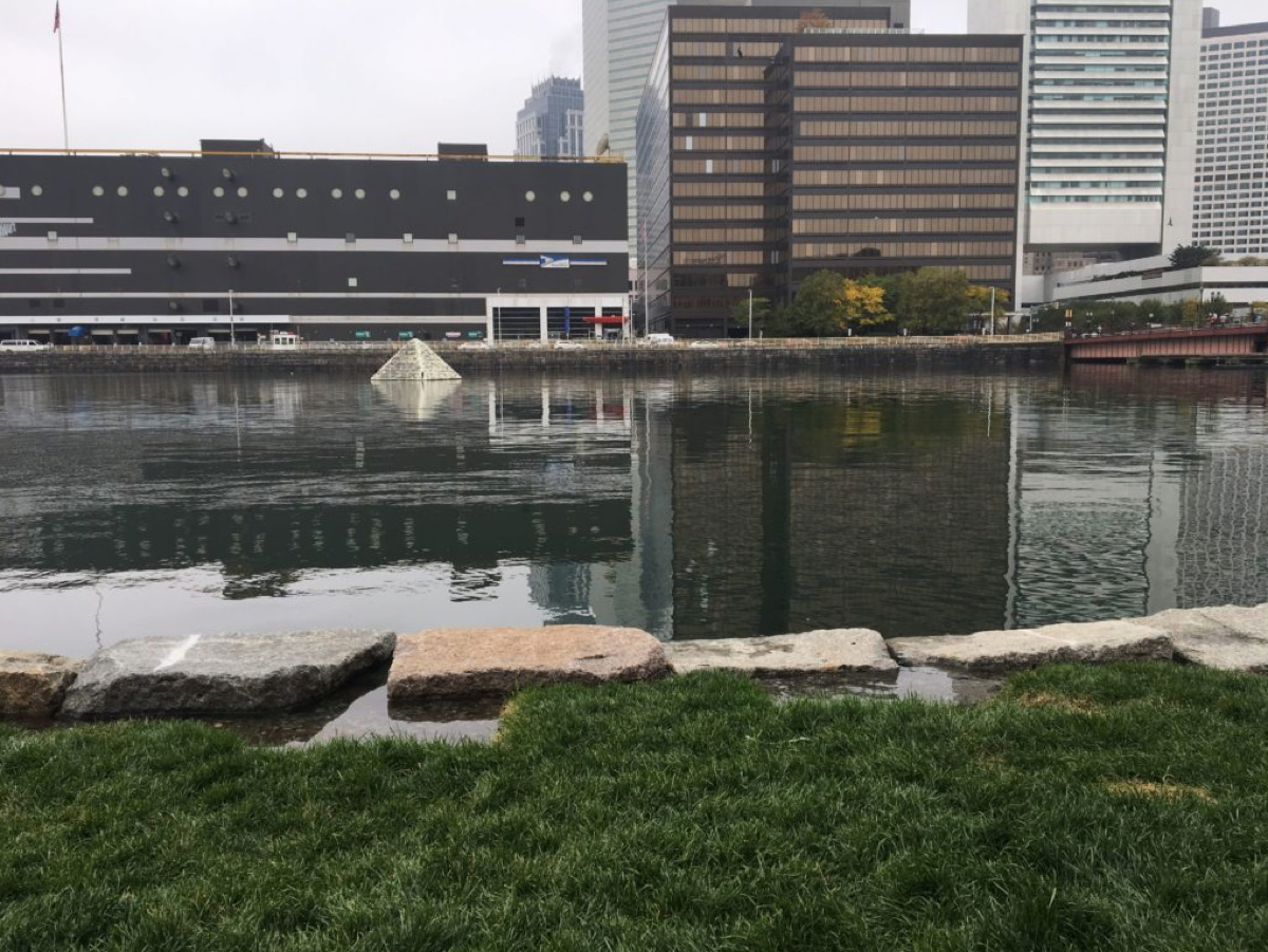
via Wendy Shapiro
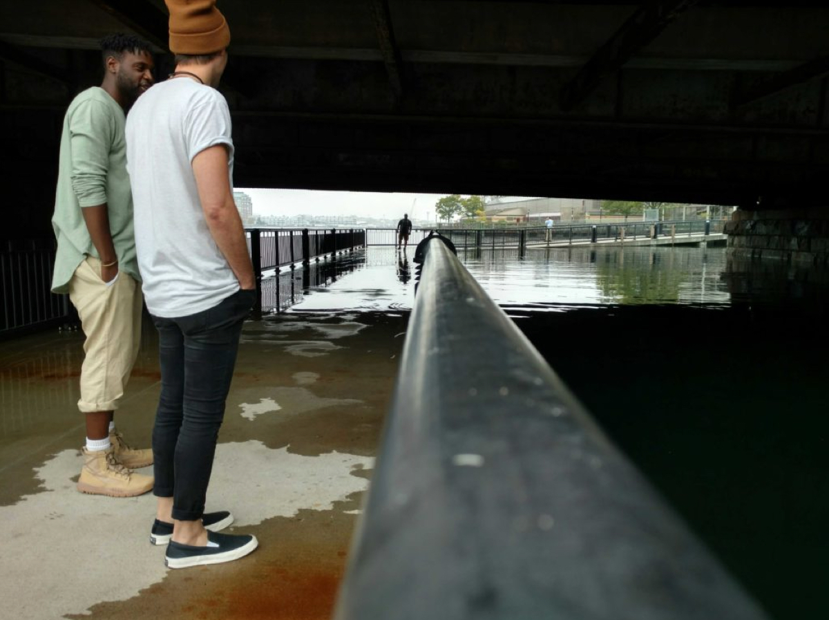
via Julia Knisel

via Charlie Nutting
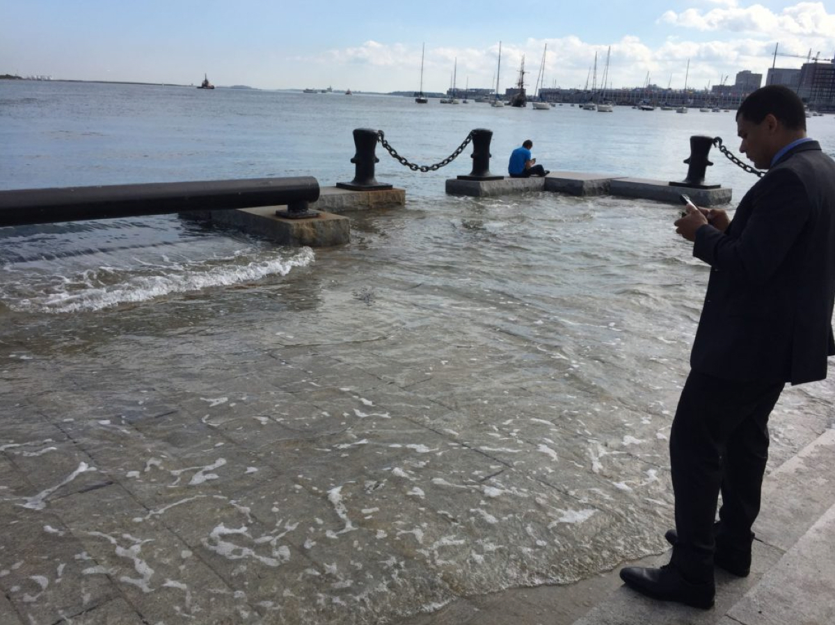
via Keri Schmidt
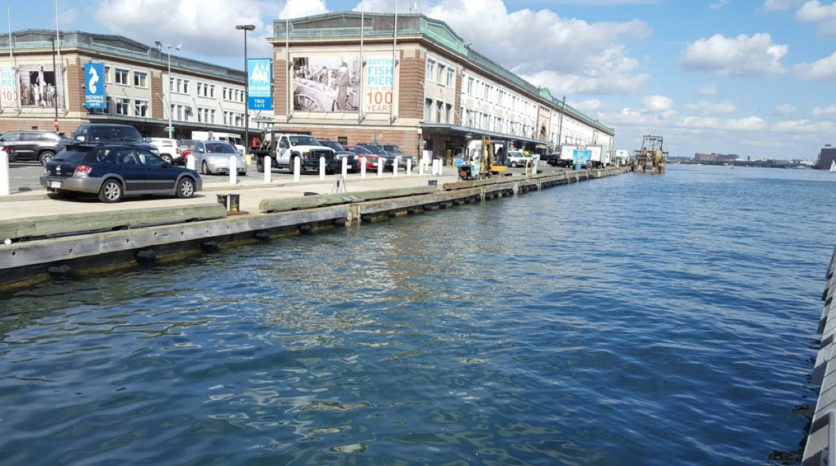
via Adam Wilding

via Julia Knisel
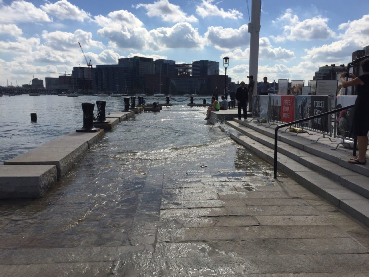
via Kerri Schmidt
