Massachusetts: Northampton to Dover

Route: A ramble through western and central Massachusetts, with stops in Northampton and Worcester; the best back road in the metro Boston area. Distance: 111 miles. Car: Mercedes SLK 250.
The author, Clifford Atiyeh, and his golden retriever, Jack.
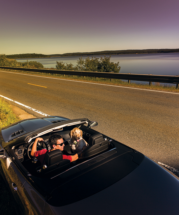
Photo by Dominic Casserly
Here I am, fleeing to the state’s lonely roads. I’m in the new Mercedes SLK 250, a tank-solid, compact roadster that’s easily tossed around—plus it’s got a stick shift. In metro Boston’s yuppie haze, the towns of central and western Massachusetts seem a world away. Rarely are we drawn past the Natick Mall’s metal sheen. What a mistake.
Out in Northampton, Route 9 becomes indifferent to suburban life. A little beyond Smith College, it snakes in wide turns as if dancing to a slow funk. I spot tattoo parlors, grungy music halls, and gigantic, blown-glass cherries at the Don Muller Gallery. Rainbow mugs and T-shirts with gay-pride messages abound. If all the hipsters from Boston pedaled their single-speed bikes west, they’d end up settling here. (The Northampton Brewery, by the way, has a surprisingly dynamite salmon—crisped in a bourbon-mustard glaze—and plenty of strong, malty beers.)
Just past the UMass campus, I ditch Route 9 for Route 202, which peeks into the Quabbin Reservoir, an 18-mile-long man-made lake that supplies much of Greater Boston’s tap water. The sight of a dotted yellow line on this extra-wide stretch kick-starts my heart and I make a pass, then amp up to third gear, fourth gear—police? No—fifth gear. Save for the SLK’s small four-cylinder engine, little dampens my momentum on 202, and the car’s sport suspension is right in the groove.
Heading east on Route 122, I am completely alone for minutes at a time. Two-lanes like this—blessedly free of driveways—simply don’t exist farther east. A few miles after Barre town center, I stop off Route 62 at the Barre Falls Dam, built in 1958 to prevent flooding along the Ware River. The idyllic 557 acres teem with flying disks (there’s an official disk-golf course) and wildlife, and I watch a couple wrap up a picnic lunch and return to their motorcycles. Back on 62, a canopy of oaks and maples shrouds my ride as the road narrows. I pause in Princeton, park atop the hill, and look down at the spired, burgundy town hall and the rose-tinted, granite-and-brownstone public library and its clock tower.
Crossing the Wachusett Reservoir on Route 12, the road widens all the way to the Worcester Art Museum, where you can duck under original arched limestone from an old French church (called the Chapter House, it was the first medieval building brought to America). I take I-190 for a few exits to downtown Worcester and stop at Armsby Abbey for serious mac ’n’ cheese made with IPA. For more-down-to-earth fare, there’s the Rose Garden, a dive bar off Route 140 in Upton with hand-ground beef and “none of this frozen crap,” chef John Lindi tells me when I meet him in the parking lot after I’ve emerged from the woods. I’d been searching for the Upton Chamber, the town’s infamous man-made cave. No one knows its origin—in Lindi’s youth, kids smoked weed there—but it’s certainly a strange diversion.
Then it’s on to Farm Street in Sherborn and Dover—the single best back road in the entire metro Boston area. It’s like driving through a Thomas Kinkade painting, dreamy and drenched in autumnal color. That, and there are hairpin turns, just a half-hour from my apartment. Paradise found.
A teenager fishes in Gates Cove, part of the Wachusett Reservoir, in West Boylston.

Photo by Dominic Casserly
Stillwater Farm in Sterling, near the intersection of Routes 140 and 62.
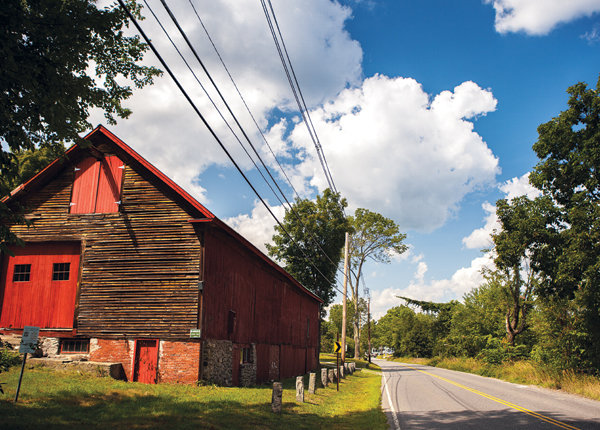
Photo by Dominic Casserly
Animals of all sorts cross Route 122 in Petersham.
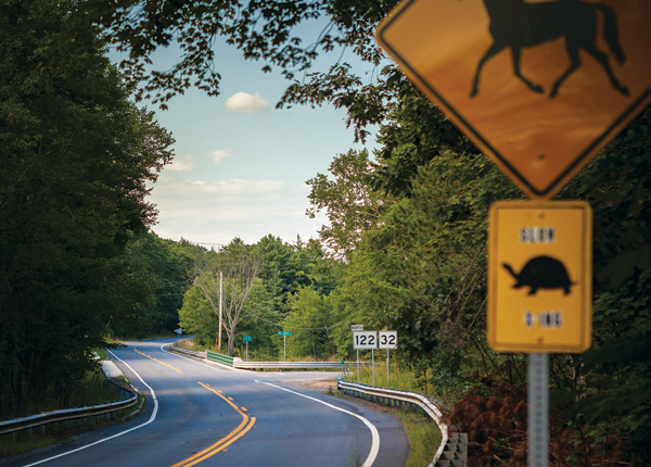
Photo by Dominic Casserly
Looking south down Main Street in Worcester.
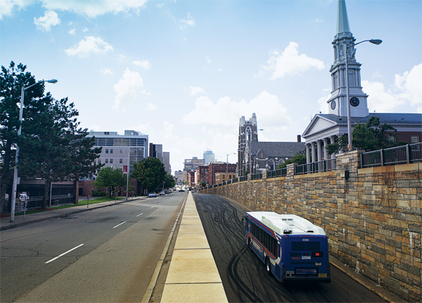
Photo by Dominic Casserly
The Connor’s Pond dam in Petersham.
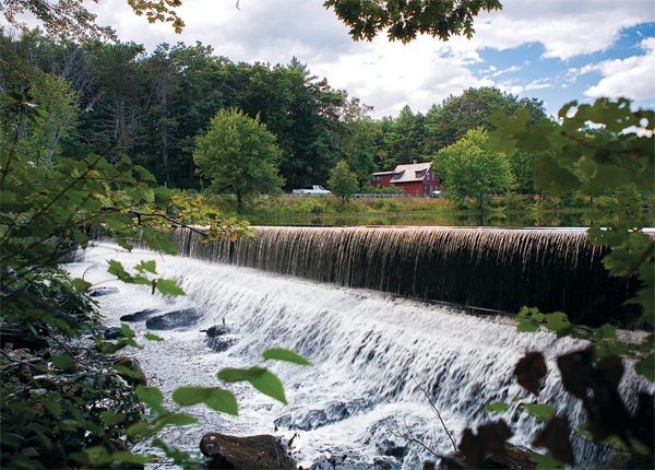
Photo by Dominic Casserly
Check out all five New England road trip routes in our 2012 Fall Travel Guide.