Making Comm. Ave. Work for All Modes of Transit Is Like Tackling a Rubik’s Cube

Photo by Steve Annear
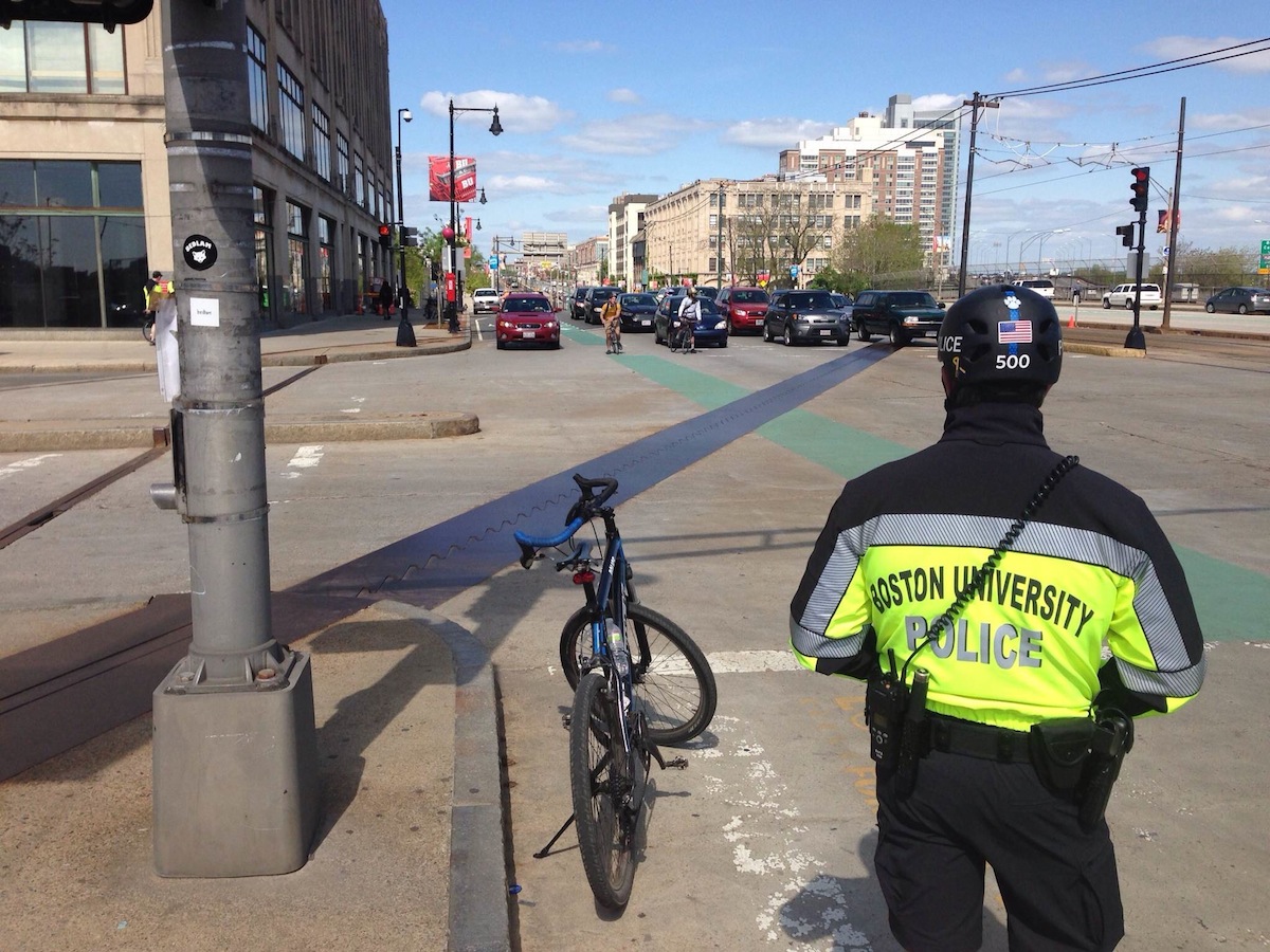
Commonwealth Avenue—specifically the stretch extending between the Boston University Bridge toward Allston—is one of the most “truly multi-modal” strips of roadway in the city.
That’s why when city officials approach the next phase of a project that will considerably revamp the streetscape, train stops, bike lanes, and sidewalks in that area, transportation advocacy groups want to be sure the major changes accommodate everyone involved.
“These types of projects happen only every 50 years or so, so this is the last chance of a lifetime to make that street safe,” said Pete Stidman, executive director of the Boston Cyclists Union.
Last week, members of the non-profit bike organization were out on Comm. Ave., where the $16 million project, funded by state and federal dollars, is scheduled to take place. Advocates were collecting petitions for support of separated bike lanes that would keep riders safe from both interactions with cars and potential “doorings.”
Stidman said that particular strip of road, extending from the BU Bridge toward Packard’s Corner, has seen 68 crashes between 2010 and 2012. He said 17 of those involved riders colliding with drivers opening their car doors. “It’s extremely dangerous,” he said, citing fatal accidents that have also occurred along that stretch of Comm. Ave.
But city officials are pushing back on the idea of separated lanes or cycle tracks, and are trying to reach a compromise to meet cyclists’ demands. They are also trying to appease members of LivableStreets Alliance, who claim the project details mean sidewalks will get significantly narrower in a few locations, and the corners at intersections will get cut back to allow for faster turning traffic “to the detriment of pedestrian safety.”
The city blames federal regulations for the inconveniences, however, and says that in many ways their hands are tied. Design requirements call for the project, which started five years ago, to include wider land for the Green Line, impacting the width of the road, space for parking spots, sidewalk measurements, and of course the size of the bike lanes.
Boston Transportation Department Commissioner James Gillooly likened the process of figuring out how to adequately please everyone that utilizes the busy street to playing with a Rubik’s Cube.
“You have to think about the physical space for everything, and how it fits into the bigger network,” he said. “I’m not confident that we will find a way to [have separated bike lanes].”
The project is currently at the 25 percent design phase, and has been that way for years. The city—BU has had a big stake in figuring out the plans through a partnership—is making a push to move things forward because of time constraints tied to the federal funding earmarked for the project. Gillooly said the project needs to go out to bid by September of 2015, which means they have to get to the 75 percent design phase in the immediate future.
Gillooly said keeping cyclists in mind when pursuing any roadway project is “part of [the city’s] DNA now,” but the widening of the Green Line property creates a ripple effect for the rest of the road on both sides, ultimately impacting the space for bikers who want designated lanes. The city also lost space out of the middle of the street, which means it puts pressure on other users like pedestrians.
“If you go from the T reservation to the fronts of buildings we have lost some space here and there,” said Gillooly. “There are some basic limits to what we can do.”
Gillooly said they are losing a foot or two in some sections of the sidewalk by providing the wider reservation for the T, and adding space for the bike lanes.
“Everything is inter-locked. In an ideal world we would not have touched an inch of sidewalk either,” he said. “Collectively we did an analysis to make sure we weren’t doing anything that would not be sufficient. But it did require skinny-ing down the sidewalks a little bit.”
Gillooly said one of the most difficult communications challenges is to take the analysis of the project’s design and “have everybody understand why certain choices have to be made.”
Kara Oberg, program manager for LivableStreets Alliance said the communications seem pretty clear-cut. “Basically pedestrians are getting less space, cyclists are getting the same amount of space they have today, and drivers are getting more space, when all the numbers show that people biking and walking is increasing in volume while people driving is decreasing,” she said.
Before the city breaks ground, they plan on hosting a public hearing to display the nearly-final plans for Comm. Ave., and during the unveiling hope that the minor tweaks that can be made at this stage of the design meet the standards that transportation advocates are demanding. Gillooly also said designers will do their best to widen bike lanes beyond the current five-foot design, and will put in “bike boxes” at intersections and install specialty bike lights to give riders a head start before cars.
Oberg and Stidman both have high hopes that suggestions lobbied by their respective organizations make it into the project before changes get underway. “We think it’s going to take a lot of convincing, and there will be a lot of work, but we are confident change will happen,” said Oberg.

