Boston May Be Getting Snow on Sunday

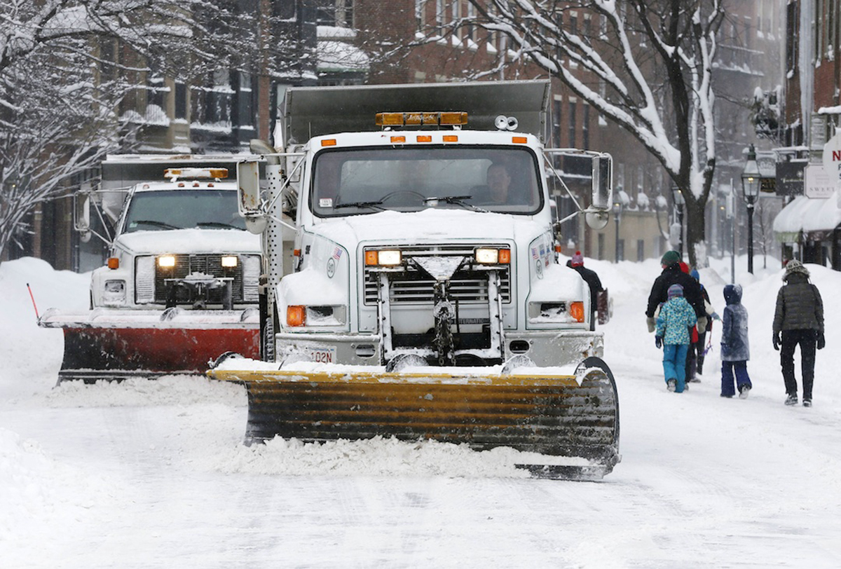
Plows clear Charles Street in Boston, Sunday, Feb. 15, 2015. (AP Photo/Michael Dwyer)
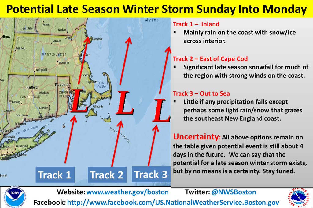
UPDATE: 3/18/2016 8:45 a.m. The National Weather Service is projecting a storm will hit New England on Sunday night, but exactly how intense it will be is uncertain at this time. The storm does appear to be tracking eastward, meaning “a better chance for significant snowfall across Eastern Massachusetts and Rhode Island as opposed to interior southern New England.”
We hate to interrupt the official start of spring, but don’t put your snow shovels away just yet.
Early weather forecasts are projecting a significant winter storm will hit New England late Sunday night. It’s way too early for any serious snowfall projections, but, since we’re still in the speculation stage of this storm, some models are showing well over a foot of snow in coastal areas while others are showing a bit less between Sunday and Monday. Most projections appear to be in the 8-12 inch range. It does look like parts of New England ski country will benefit from this storm, though the jury is out on whether this will help salvage the ski season.
12z CMC/GFS/ECMWF storm total snowfall. UK not pictured but would be similar.. I-95 ftw pic.twitter.com/fzrOHsyJFX
— Dan Leonard (@DanLeonard_wx) March 16, 2016
As is typical case with these projections, it’s all about the tracking of the storm. Right now, forecasters are watching this storm closely because a slight shift out to sea or inland will drastically reduce its punch. Current models show the storm being most powerful if it tracks just to the east of Cape Cod. The storm is forecast to arrive in the region at the same time as a burst of cold air from the Great Lakes region.

Do stay tuned to the forecast, because this is New England: If you don’t like the weather, wait five minutes, and it will change.

