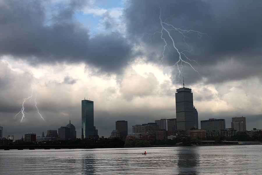
Severe Storms, Floods, and Potentially Record-Breaking Heat Are on Their Way
Strong to severe thunderstorms are due to hit today. Some extreme heat will follow this weekend.

Photo via iStock/DenisTangneyJr
Ready your raincoats, rafts, fans, and air conditioners—the remnants of Hurricane Barry are making their way toward Boston, and basically, you should be prepared for anything.
Thunderstorms? They’re coming for us today, expected to land in Boston around noon and hold out until 10 p.m. NWS Boston predicts that the storms will be strong to severe, with heavy downpour rates of one to two inches per hour. They also might contain high winds, which could lead to tree or power line damage. Rainfall is due to continue into Thursday, and with so much rain, there’s also potential for flooding.
As the storms roll through, temperatures will take a pretty steep drop into the low 70s Wednesday evening into Thursday, WBUR reports. However, the apocalyptic weather event won’t be over quite yet. As you can see from this delicious graphic, we’re in for a scorching weekend.
Seriously, the weekend looks HOT. I wouldn’t be surprised if a few spots hit 100 degrees on Saturday. @boston25 pic.twitter.com/CpL0GlaqsK
— Shiri Spear (@ShiriSpear) July 16, 2019
As the hot dogs show, we will likely see peak heat on Saturday, with heat index values potentially reaching over 105 degrees.
Fortunately, though, you probably won’t have to have keep the AC on full blast for long—meteorologist Dave Epstein predicts that temperatures should fall back into the 80s by the end of the weekend.


